
Back
Update
30 Jan 2017
Update
30 Jan 2017


 |
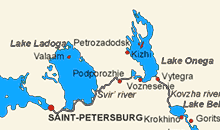
General map This is for your general orientation. Karelia, in dark yellow, is part of the Russian Federation. Saint-Petersburg, the starting point of our cruise, has a latitude of 60° North. You see Sweden, Finland, and Estonia, one of the Baltic States. Places visited
|
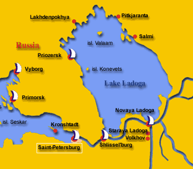 |
From Saint Petersburg to Lake Ladoga There is no scale, but the distance from Saint-Petersburg to Valaam is about 250 km. Lake Ladoga is the biggest European lake, 210 km long and 130 km wide. |
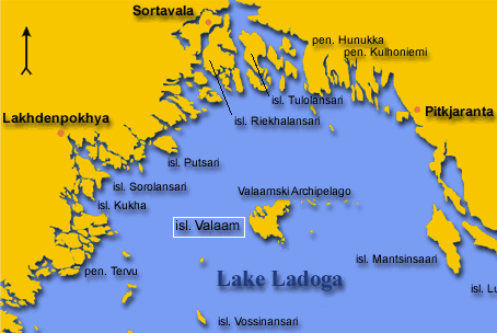 |
North of Lake Ladoga |
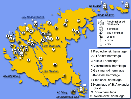 |
The island of Valaam This island has been the first leg of our cruise. As you can see from the map, there are many monasteries on the island. We did not see all, but we had a good selection. See the picture page. |
© François de Dardel
The music you are listening to if you have clicked on the small icon at the top of this page is the introduction to the second act of Peter Tchaikovski's "Swan Lake".
